If you’re drawn to quiet mornings on glassy water, easy access to town, and room to breathe, the south shore of Lake Pend Oreille in Sagle might be exactly what you’re looking for. You want a simple daily rhythm with quick errands in Sandpoint, plus weekend adventures that start at your driveway or the nearest boat launch. In this guide, you’ll learn what life really looks like here, from commute times and lake access to schools, services, and property considerations unique to this rural-lake setting. Let’s dive in.
South shore at a glance
Sagle sits directly south of Sandpoint in Bonner County, with downtown Sandpoint roughly 5 to 7 miles away depending on your exact address. It’s an unincorporated community where low-density homes, small farms, and forested hills meet a vast lake shoreline. For quick orientation, the Sagle overview and the county’s Sagle Community Area Plan provide the local framework for growth and services.
The county plan notes steady but modest growth and a strong intent to preserve a rural character even as development continues near US 95. Residents value the open feel and privacy that come with larger parcels and cabin-style homes. According to the Sagle Community Area Plan, maintaining that rural identity is a central planning goal.
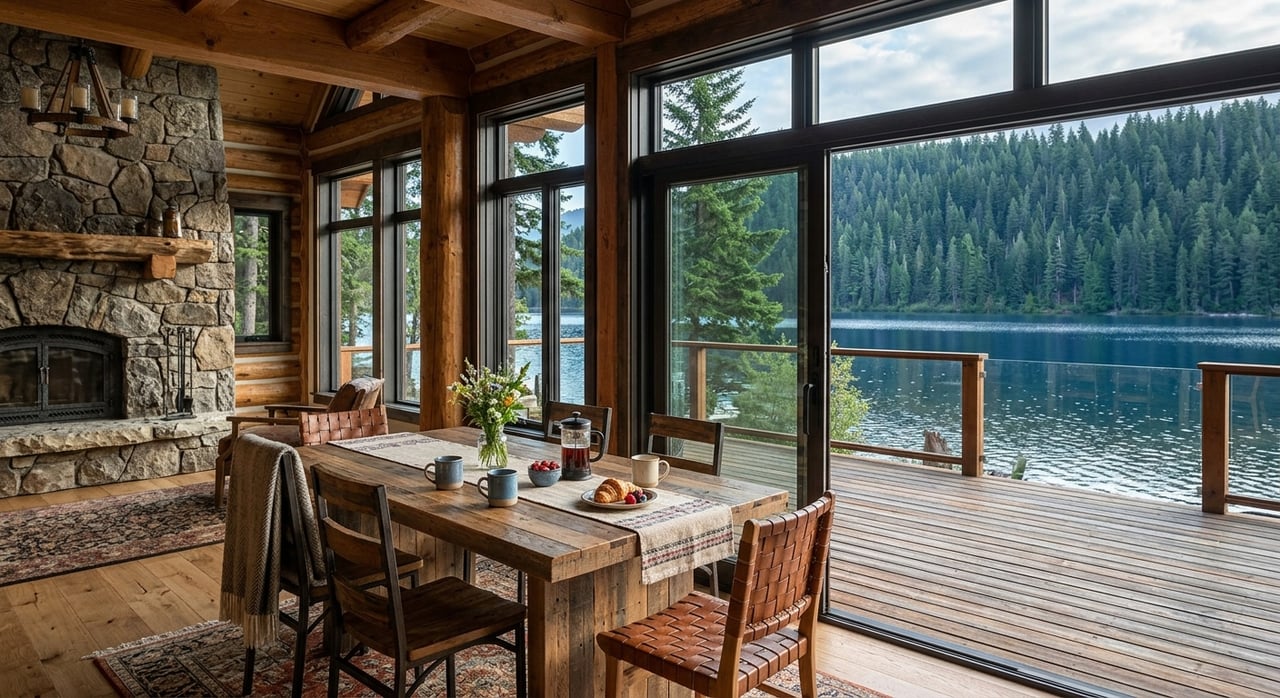
Lake Pend Oreille sets the tone for daily life. It’s Idaho’s largest lake by surface area and among the nation’s deepest inland lakes, with published figures around 148 square miles and a maximum depth of about 1,150 feet. Those dimensions shape boating norms, weather on the water, and the scale of recreation. You can explore more lake details in the state’s fisheries plan from Idaho Fish and Game (lake stats and context).
Getting to Sandpoint
Most trips into town run along US 95, with Sagle Road and nearby county roads feeding the highway. The county plan treats US 95 as the primary north–south corridor for daily life and commuting. In clear conditions, typical drives from many Sagle addresses to downtown Sandpoint fall in the 7 to 15 minute range, with longer times from farther south or higher elevations. You can see an example estimate here: Sagle to Sandpoint drive time.
Season and roadwork can change your timing. Winter storms and construction along US 95 may add delays, so build in extra time and check the Idaho Transportation Department updates. Start with ITD’s District 1 news to understand current or planned projects that affect the Sandpoint area (ITD project news hub).
Prefer a human-powered route? There is a paved shared-use path that connects Sagle to Sandpoint via the Long Bridge. It’s a scenic option for fit riders and walkers in good weather. Daily winter commuting by bike is possible for some, but plan for conditions.
South shore water access
If you do not have private frontage or a dock, you still have several ways to get on the lake. Bonner County lists multiple public launches and day-use points serving the south shore, including Garfield Bay, Talache Landing, and Springy Point. Find locations, rules, and contact details on the county page for local waterways (Bonner County launches and rules).
Garfield Bay is a popular put-in on the south shore, and the county operates a small seasonal campground nearby. County-managed launches are day-use only, and overnight parking is not allowed, which is important if you need to plan boat storage or multi-day outings. Springy Point, a US Army Corps of Engineers site, has seen year-to-year staffing changes; in 2025 it announced an intent to operate day-use only for part of the season. If Springy Point is on your list, verify the latest status before you go (Springy Point update).
You’ll also find excellent in-town access at Sandpoint City Beach for swimming and picnics, plus nearby marinas for paid services. Before trailering or launching, review local rules, no-wake guidance, and Idaho’s mandatory boat inspection program. The county waterways page outlines inspection requirements and local no-wake zones, and it’s the best first stop for up-to-date guidance (waterways rules and inspections).
Schools and everyday services
Families in Sagle are served by Lake Pend Oreille School District #84. Sagle Elementary covers K–6 within the community, while middle and high school students attend Sandpoint Middle School and Sandpoint High School. School locations and district resources are listed here (LPOSD schools overview). For bus routes, stops, and boundaries, contact the district’s transportation department directly for the most current information.
Most daily services are in Sandpoint, just across the Long Bridge. You’ll find primary health care, grocery shopping, and retail on the north side. The Sagle Community Area Plan reinforces this pattern, noting Sandpoint functions as the service center for residents south of town.
Fire protection and EMS in Sagle are provided by Selkirk Fire, Rescue & EMS. Like many regional agencies, staffing and budgets can shift over time, which can affect programs and operations. It’s best to focus on which agency covers the area rather than promise specific response times.
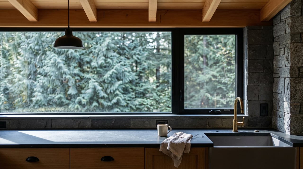
Lifestyle beyond the boat
Round Lake State Park sits a few miles from many Sagle addresses. It offers forested trails, paddling on a small lake, and an easy day trip when you want a quieter setting than the big water of Pend Oreille. Find park details and seasonal updates on the state site (Round Lake State Park info).
For winter and summer mountain recreation, Schweitzer is the region’s hub for skiing, snowboarding, and lift-served biking. Depending on your Sagle starting point and road conditions, plan around 20 to 40 minutes through Sandpoint and up the mountain access road. Learn about parking, shuttles, and seasonal operations on the resort site (Schweitzer resort).
Closer to home, you can enjoy casual rides and walks on the Sagle–Sandpoint shared-use path, then roll into town for coffee or dinner. Wildlife sightings are common, from deer to the occasional moose, especially in the hills and forest edges. That beauty comes with typical North Idaho realities like winter driving and wildfire awareness, so plan accordingly.
Property and land-use notes
Sagle’s rural character shapes property features and due diligence. Many parcels outside the few serviced pockets rely on private wells and septic systems. The county plan highlights groundwater sensitivity and recommends testing wells and managing septic carefully. If you are evaluating a property, confirm water and sewer status for the exact parcel in advance (Sagle Area Plan, utilities guidance).
Use this quick checklist as you compare the south shore to other parts of the lake:
- Water and sewer: Verify if the property is on a public system or private well and septic. Schedule appropriate inspections and tests.
- Commute in all seasons: Drive the route during typical times and check ITD updates for road projects or winter advisories (ITD District 1 news).
- Boat plan: If you do not have a dock, map out your nearest public launch and remember county sites are day-use only. Plan storage and overnight solutions accordingly (county waterways).
- Recreation mix: Identify your go-to spots, from Garfield Bay to Round Lake, and track seasonal openings.
- School logistics: Confirm attendance zones and bus routes with the district as you narrow down neighborhoods (LPOSD schools).
How we can help
If you want the south shore lifestyle, the details matter. You need clear guidance on commute patterns, shoreline use rules, well and septic due diligence, and which coves and hill neighborhoods match your rhythm. Our team offers concierge-level buyer services, from curated, multi-day tours to neighborhood comparisons that balance privacy, access, and recreation.
With premium marketing through the PureWest | Christie’s network and transaction-focused rigor shaped by legal and construction experience, we help you buy or sell with confidence. When you are ready to explore Sagle’s south shore, reach out to Overland Reizen. We’ll help you find the right fit on the lake-and-mountain corridor.
FAQs
How long is the drive from Sagle to downtown Sandpoint?
- Plan on about 10 to 20 minutes depending on your exact address, season, and road conditions, with many central addresses often under 15 minutes when roads are clear (example drive time).
Where can I launch a boat if I do not have a dock in Sagle?
- County-listed options include Garfield Bay, Talache Landing, and Springy Point; county launches are day-use only, so check rules and current operations before you go (county waterways).
Which schools serve Sagle addresses?
- Sagle Elementary serves K–6 in the community; older students attend Sandpoint Middle School and Sandpoint High School in LPOSD #84 (LPOSD schools overview).
Are there public beaches and marinas nearby?
- Yes. Sandpoint City Beach is the main in-town beach for swimming and day use, and several marinas around the lake offer paid services; confirm options for your preferred cove or town area using local resources.
What utilities should I expect on rural south shore parcels?
- Many properties rely on private wells and septic systems, with limited public water or sewer in certain pockets; the county plan recommends well testing and careful septic management for buyers (Sagle Area Plan).